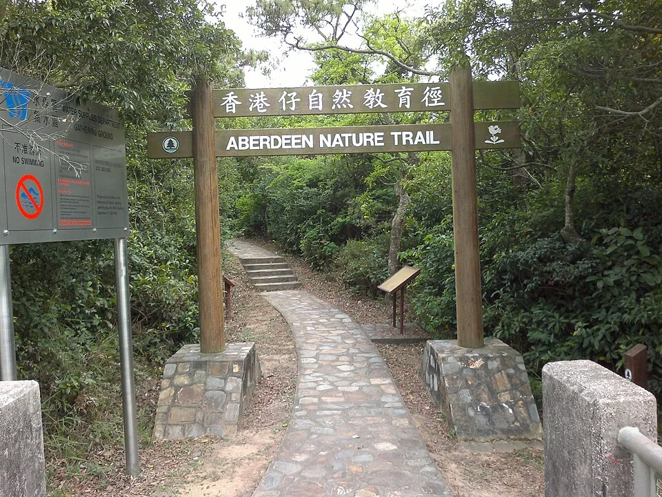
Before your first Hong Kong hike, settle the route, a finish before dark, return transport and the plan you will leave with someone. Keep checking your position as you walk. If lost or facing an incident, stop to assess and seek help rather than assuming another few minutes will solve it. This guide concerns preparation for short walks on established trails, not wild-trail exploration or a guarantee of route suitability.
Choose for the group before choosing a photograph
Mountains close to the city are still mountains. Select a maintained, clearly marked route and check length, ascent, surfaces, exits and escape options. Plan around the slowest member. For occasional walkers, children or anyone who tires easily, a shorter route with an identifiable finish is easier to manage than extending the day for a viewpoint seen online.
The Civil Aid Service mountain-safety guidance recommends a route, backup plan and downloaded offline maps. Police hiking advice says to finish before dark. Your time budget should include reaching the start, rests, photographs, walking to transport and waiting for it. A map's walking estimate is not a ceiling on the whole outing.
Choose a point in time after which you will not extend the walk. A late departure, transport delay or unwell companion is a reason to shorten or cancel, not remove every rest. Check weather before and during the outing and postpone in unstable or dangerous conditions. The separate Hong Kong and Macau severe-weather guide explains warnings in more detail.
Leave a plan with someone who is not coming
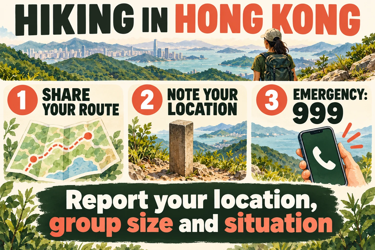
Send a useful itinerary, not just “going hiking”: starting point, principal places along the route, finish, start and expected completion times, group size and contacts. Update that person if the plan changes, and confirm when you finish safely. Otherwise they may be trying to interpret an outdated route.
Both the AFCD countryside safety guidance and Civil Aid Service advise against hiking alone, preferably recommending four or more people with someone who knows the route. Numbers are only one part of readiness: four beginners are not automatically suited to a difficult trail. Agree who navigates and who watches the slower members. Regroup before junctions instead of letting faster walkers disappear ahead.
A message can be simple: “Four of us are following this established route from this entrance to this exit, expecting to finish at this time. We will update any change. The lead contact is…”. Consider specific health and mobility needs before choosing the walk.
Pack for delay, not just for taking pictures
Choose water, food, footwear, sun protection and rainwear for the route and weather. The CAS list also includes a map, compass, first-aid supplies, torch, whistle, paper and pen, spare warm clothing, phone and backup power. Carrying a compass or first-aid kit is not the same as knowing how to use it. Report injury or illness to emergency services and follow professional instructions.
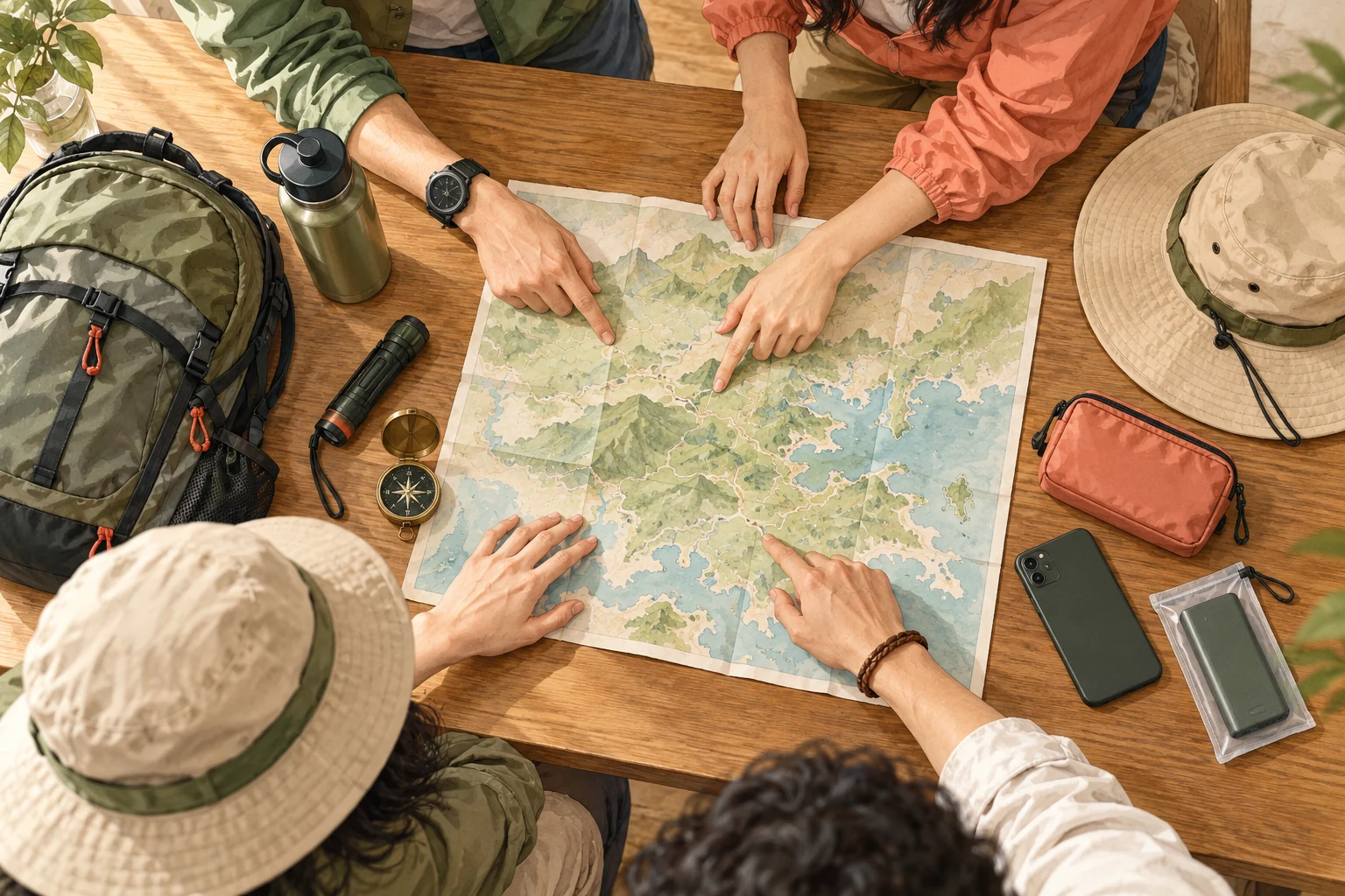
Download the offline area while connected and actually check that it opens. Save the route and contact details somewhere other than a cloud-only link. Charge the phone, protect the backup battery and conserve power for navigation and communication. Continuous video recording and a bright screen can use up the reserve intended for a delayed return.
Confirm voice calling separately from mobile data. A travel eSIM that provides internet access may not include ordinary voice calls. AFCD warns of mobile blind spots around ridges and valleys. Offline information, companions and the route left with someone still matter; no app is proof that ordinary network coverage exists everywhere.
Direction signs and distance posts answer different questions
Pause at junctions to compare the sign with your plan, especially when someone stops for a photograph or turns ahead. A fingerpost generally indicates where a path leads. A distance-post number helps describe where you are. Notice both rather than turning towards a familiar place name without checking the intended direction.
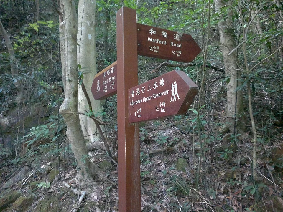
AFCD describes distance posts at roughly 500-metre intervals along the four long-distance trails and country trails. That is not a guarantee that every minor path has the same markers. Notice the number and position as you pass; take a clear photograph when useful. The distance-post information page links relevant trail information. Learning what applies beforehand is better than encountering a number for the first time during an emergency.
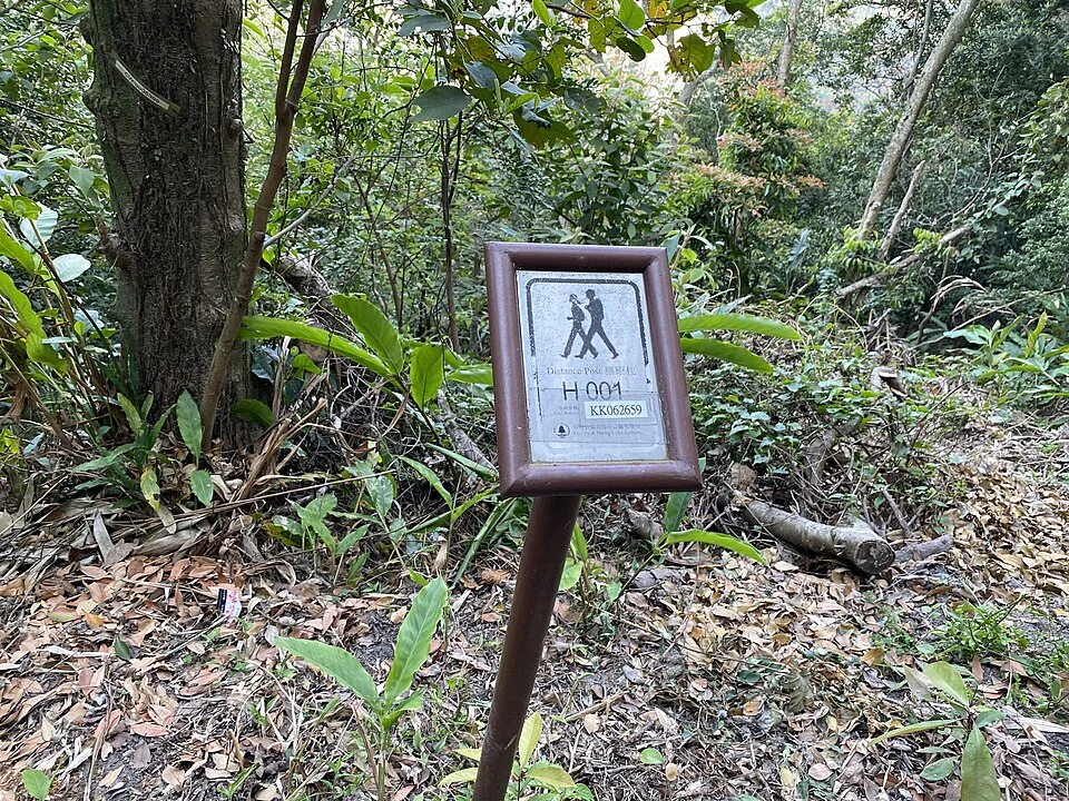
This historical photograph is an example, not your present location. Read the number on the actual post rather than one pictured in a guide. If you have moved beyond the last post, explain which one, your subsequent direction and roughly how long ago you passed it. “Last seen” and “standing beside now” are different reports. Coordinates, landmarks and a route record can help together; do not invent a position from a guess.
If the route stops making sense, stop exploring further
When signs no longer match, a path becomes unclear or you encounter a closure, stop and bring the group together. Compare the map, compass, route already walked and visible landmarks. Retrace only where you can identify a safe return. If unsure or facing danger, do not keep switching paths to find a shortcut, or approach a cliff, steep slope or unfamiliar branch simply to seek a signal.
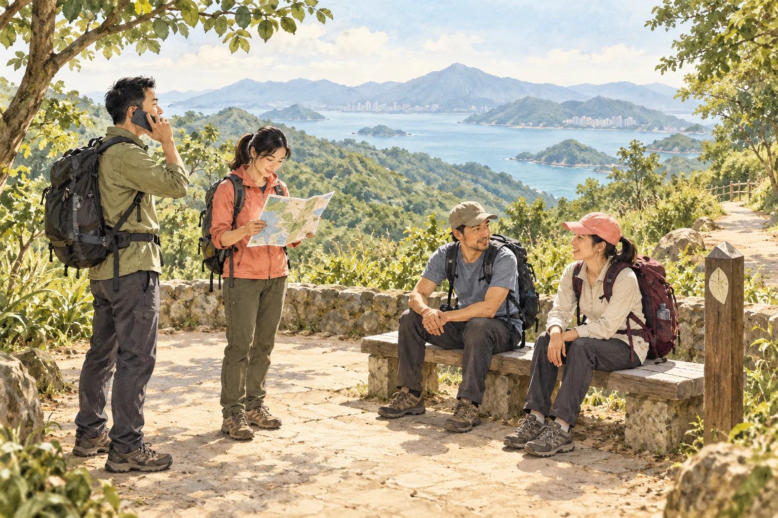
AFCD's lost-person advice includes recalling the route and retracing it where feasible; otherwise stop progressing and wait for rescue. Choose a safe place, watch warmth and the condition of companions, and follow rescuers' instructions. If the position itself presents immediate danger, explain it during the call rather than interpreting “stop” as an instruction never to move under any circumstances.
An HK01 report about HKSOS described a difference between a caller's stated and actual location. It illustrates why “somewhere on that mountain” is inadequate. A successful rescue time in a news story is not a promise for another incident. Preparing and reporting accurately matter more than preserving a dinner reservation.
Give emergency services location, incident and people
Call 999 for an emergency; CAS also lists the mobile emergency number 112 and country-park emergency call points. Once connected, answer the call handler's questions rather than insisting on reading a whole prepared speech. Keep the phone reachable and watch for a return call.
| Information | Make the distinction clear |
|---|---|
| Location | Actual distance post, route, coordinates and landmarks; current position versus last observed position |
| Incident | What happened, when, and any immediate danger |
| People and condition | Total group, number injured and what you observe, without inventing a medical diagnosis |
| Contact | Lead person's name and number, and where other companions are |
HKSOS is the police outdoor emergency app, recommended in AFCD and CAS preparation advice. Use the official police entry point for instructions and understand the settings before leaving. Do not trigger a real distress call as a test. Location and search technology do not guarantee instant connection, eliminate all communication gaps or establish a fixed rescue time.
The police 992 SMS service is for registered people with hearing or speech impairments, not a universal text-reporting number for every visitor. A travel company's customer support is also not an emergency line. In urgent danger, contact emergency services first and notify family as appropriate.
Your pre-journey checklist
- Established route, exit, escape options and return transport checked, with time to finish before dark.
- Someone has the itinerary, group size and contacts; changes and safe completion will be reported.
- Offline map tested, phone charged, and water, food, torch and necessary clothing packed.
- Direction checked at junctions and distance posts noticed; historical photo numbers are never used as the current location.
- If lost, stop wandering; report location, incident, people and contact details, and follow rescue instructions.
Sources & further reading
This article draws on the media coverage and public information below. Event and transport arrangements can change; check the latest details before travelling.
- Civil Aid Service: mountain safetycas.gov.hk (Opens in a new tab)
- AFCD: countryside safetyafcd.gov.hk (Opens in a new tab)
- AFCD: distance postsafcd.gov.hk (Opens in a new tab)
- Hong Kong Police: hiking safetypolice.gov.hk (Opens in a new tab)
- HK01: reporting on HKSOS and location accuracyhk01.com (Opens in a new tab)
Make it your journey
Arrange the walk itself before choosing transport to the start and from the finish. For a vehicle booking, provide a lawful roadside meeting point, group size and a realistic completion window. A transfer does not include rescue from within a trail or replace emergency services.